Skip to content
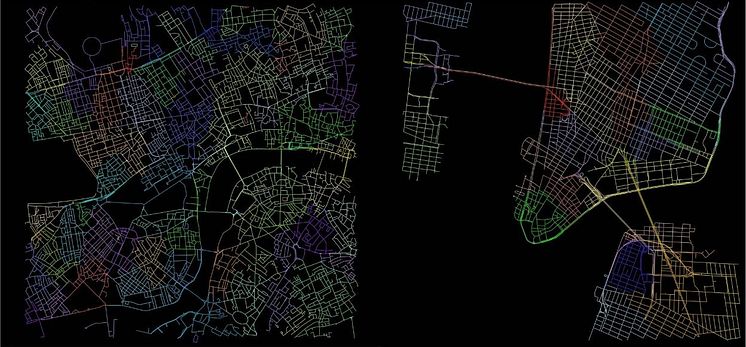
london_and_nyc_streets

Image -

london_and_nyc_streets

go to media item
License:
Media Use
The content may be downloaded by journalists, bloggers, columnists, creators of public opinion, etc. It can be used and shared in different media channels to convey, narrate, and comment on your press releases, posts, or information, provided that the content is unmodified. The author or creator shall be attributed to the extent and in the manner required by good practice (this means, for example, that photographers should be attributed).
File format:
.jpg
Size:
1248 x 580, 184 KB
Download

Topics

Contacts

Related content

  • Map of London and New York City streets

    Northumbria research helps find key to spatial navigation skills

    A long-term study involving a Northumbria University architect has found that growing up in rural or suburban areas improves spatial navigation. Professor Ruth Dalton, from the Department of Architecture and Built Environment, conducted research which found that being raised in a city – particularly a city with grid-patterned streets – is detrimental to the development of spacial navigation.