Press release —
New map of 20th century land use in Britain helps researchers demystify biodiversity change
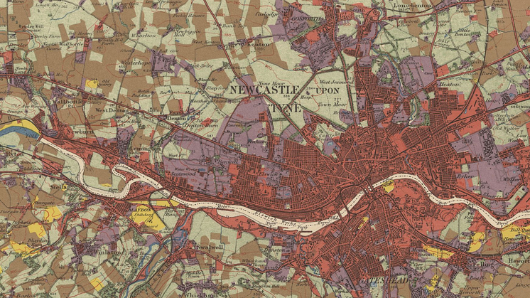
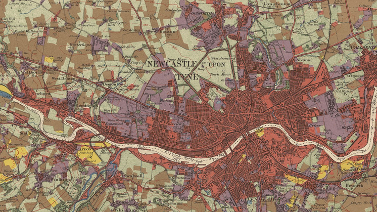
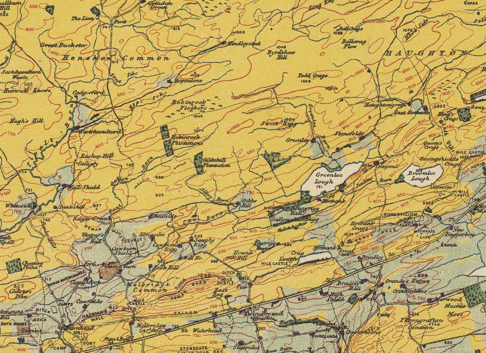
A collaboration led by Northumbria University and the Swedish University of Agricultural Sciences has for the first time mapped how land use changed across Britain throughout the last century. The new map reveals how and where some 50 per cent of semi-natural grassland was lost, including 90 per cent of the country’s lowland meadows and pasture, as the country intensified its agriculture.
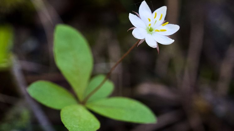
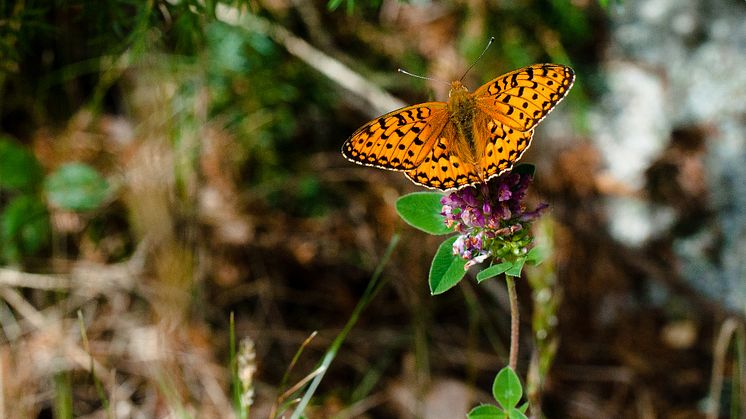
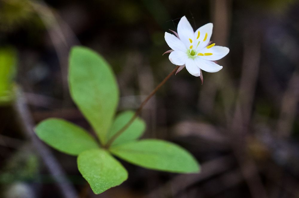
The researchers used the new map to investigate the impacts of land use change and climate change on the flora and fauna of Britain. Assembling a large citizen science dataset of some 1,192 species and over 20 million distribution records, they determined how often these factors ‘interact’ – potentially exacerbating each other to drive contractions in species’ geographic ranges.
According to the research findings, interactions between these factors were relatively rare, affecting less than one in five species. Where they did occur, their combined effect on extinction risk was often weak. Overall, the researchers found that 16 per cent of species were negatively affected by climate warming, land conversion or both, being more likely to disappear from areas where such changes have taken place.
Finding that species’ responses to environmental change were highly individual, or ‘idiosyncratic’, the researchers concluded that it was difficult to generalise across the taxonomic groups they studied (plants, birds, butterflies, and moths). They highlight a need to include species-specific information in efforts to mitigate climate change impacts or the extinction crisis.
Dr Andrew Suggitt, an ecologist from the Department of Geography and Environmental Sciences at Northumbria University who co-led the research, said: “We’ve known for a while that the two most prominent drivers of biodiversity loss – land use change and climate change – can interact to worsen each other’s effect on species. But until now we have lacked digital maps of land use that go back far enough to cover the substantial changes associated with the intensification of agriculture that peaked in the mid-20thcentury, when semi-natural grasslands were converted, hedgerows were removed, and more land was brought into production.
“Our map allowed us to test for interactions between climate change and land use change during this important episode of upheaval in the mid-to-late 20th century. We found that these factors don’t often interact to drive range retractions, which is good news, but the highly individual character of the responses will mean that we need to include species-level information in policies aimed at climate change adaptation or biodiversity goals.”
Dr Alistair Auffret, an ecologist at the Swedish University of Agricultural Sciences who also co-led the research, said: “Semi-natural pastures and meadows are hotspots of biodiversity across Europe, and we were sadly not surprised by the extent of their loss in Britain during the 20th century. Our results showed that retaining these habitats was important for reducing local losses in specialist species, but it remains the case that many such species are under threat. Conserving and restoring natural and semi-natural habitat in line with international agreements and targets should be a priority going forward.”
The study, Linking climate warming and land conversion to species’ range changes across Great Britain, is published in Nature Communications, and is available to read here: https://doi.org/10.1038/s41467-023-42475-0
The land use change maps for Britain are freely available for download at: https://doi.org/10.5878/9wks-qg91
Topics
Categories
UNIVERSITY OF THE YEAR 2022 (Times Higher Education Awards)
Northumbria is a research-intensive university that unlocks potential for all, changing lives regionally, nationally and internationally. Find out more about us at www.northumbria.ac.uk
--- Please contact media.communications@northumbria.ac.uk with any media enquiries or interview requests ---